Map Collection
The Map Collection is housed at the Toronto Reference Library.
Here you'll find :
Current and historical maps, atlases and gazetteers
- Cartography books and periodicals
- Catalogues of antiquarian map dealers
- Catalogues of map collections in other libraries
The Map Collection is international in scope.
Many of the maps can be viewed on the Digital Archive.

The World
- Current world atlases, maps and gazetteers
- Notable early atlases and maps of the world in reprint editions
- Atlases focusing on world and military history, genealogy and archaeology
- Current and historical atlases and gazetteers of countries and regions
- Road and administrative maps of countries
- Street maps of major cities
- Uniform topographic coverage of the world at 1:1,000,000 scale
- More detailed topographic coverage of the United States, Mexico, Central America and West Indies, parts of South America, Western Europe and major islands of the world
- Current and historic ordnance survey coverage of the British Isles
- Joint Operations Graphic (Air) Series
- General Bathymetric Chart of the Oceans
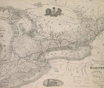
Canada
- National Topographic Series (coverage complete as published, all scales)
- Retrospective large scale topographic map coverage for Ontario and major cities across Canada
- Maps of Canada from the 17th century to the present
- Current and retrospective editions of provincial road maps
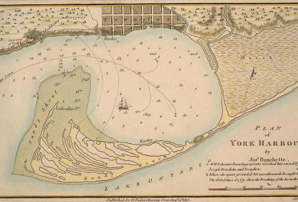
- Nautical charts of the Great Lakes region
- Reprint editions of the 19th century Ontario county atlases
- Current and retrospective street maps of Canadian cities
- Fire insurance plans of major cities across Canada and early plans for many Ontario and Quebec towns
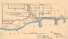
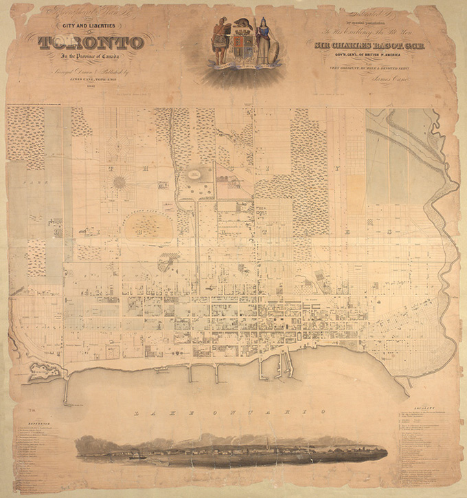
Toronto
- Distances by road, air or sea
- Elevations
- Sea depths and features
- Map projections
- Dictionaries of cartographic terms
- Map libraries and map librarianship
- History of cartography and early map makers
- Bibliographies of maps
- Map collecting as a hobby and investment
- Antique map prices and dealers
- How to select an atlas
- How to interpret or read maps
In-person access
This collection can be viewed on the 2nd floor of Toronto Reference Library. Staff at the information desk can help you find what you are looking for.
Finding aids
- General finding aid for a variety of maps (XLSX). These maps are mostly from Toronto, but there are Ontario, Canada and world maps as well. Planning, ward boundary, census, land- use, transit and topography maps are used by engineers, planners, environmentalists, genealogists, geographers, historians and those interested in recreation.
- Godfrey maps (XLSX). These are reprints of historical Ordnance Survey maps at large scale. They depict the topography of landscape, but also detailed layouts of towns, cities, and villages in the UK from the late 19th through early 20th century. They are used by genealogists and historians, novelists and TV script-writers.
Facilities
The Map Collection provides:
- Two light tables
- Microfiche readers
- Magnifying glasses
- A photocopier for enlarging and reducing
Photocopying of large atlases and original early maps is prohibited.